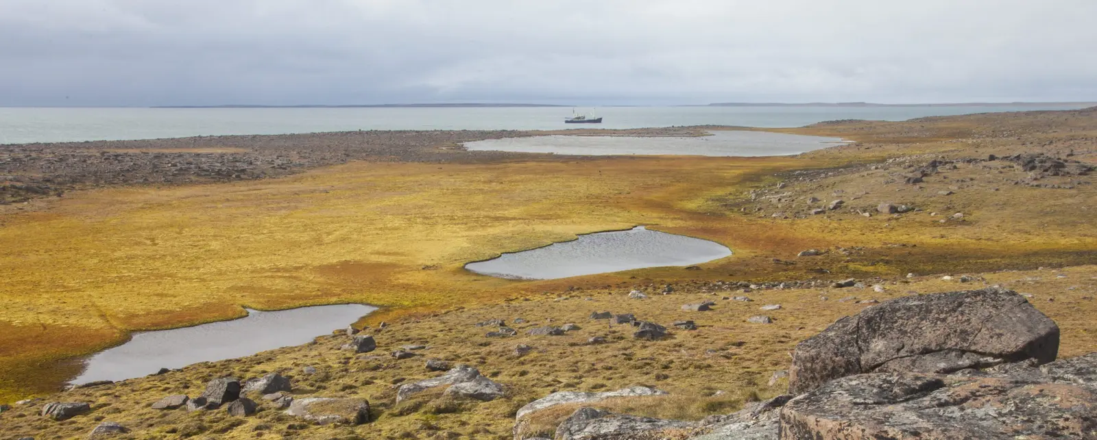
Barentsoya, Svalbard
Barentsoya is an uninhabited island of about 1,300 square km in eastern Svalbard, almost half covered by an ice cap, and part of the Soraust-Svalbard Nature Reserve. More about Barentsoya →
Cruise Ships in Barentsoya
Next call · all times local (Central European Time)
Showing 1 upcoming call
About Barentsoya
Barentsoya is an uninhabited island of about 1,300 square km in eastern Svalbard, almost half covered by an ice cap, and part of the Soraust-Svalbard Nature Reserve. It is named after the Dutch navigator Willem Barentsz, who never actually saw it.
Expedition ships usually stop at Sundneset, a low tundra headland on the southwest corner facing the narrow Freemansundet strait and the island of Edgeoya. Guided walks here pass freshwater ponds used by geese and divers, whale bones several thousand years old, and a small hut built for a research expedition.
Svalbard reindeer graze on the tundra, Arctic foxes are often seen, kittiwakes nest on the cliffs, and polar bears are common enough that landings are sometimes called off. Visits are possible only in the short summer season.
- Climate
- A cold, dry High Arctic climate. Long-term averages for Longyearbyen airport (Svalbard Lufthavn), the nearest station, about 126 km to the west, give about 4 C in June, 7 C in July and 6 C in August, falling to about 2 C in September. October averages about -4 C and November about -6 C. Winter is long and dark, averaging about -9 to -12 C from December to March, with April near -9 C and May near -2 C. Precipitation is only about 220 mm a year: April to June are the driest months with under 10 mm each, while July to January bring about 20 to 27 mm a month. Barentsoya can be colder and foggier than the station. All figures are approximate.
- Time zone
- Central European Time
- Currency
- Norwegian Krone (NOK)